Saranac Central Hiking Challenge
Saranac Central Hiking Challenge
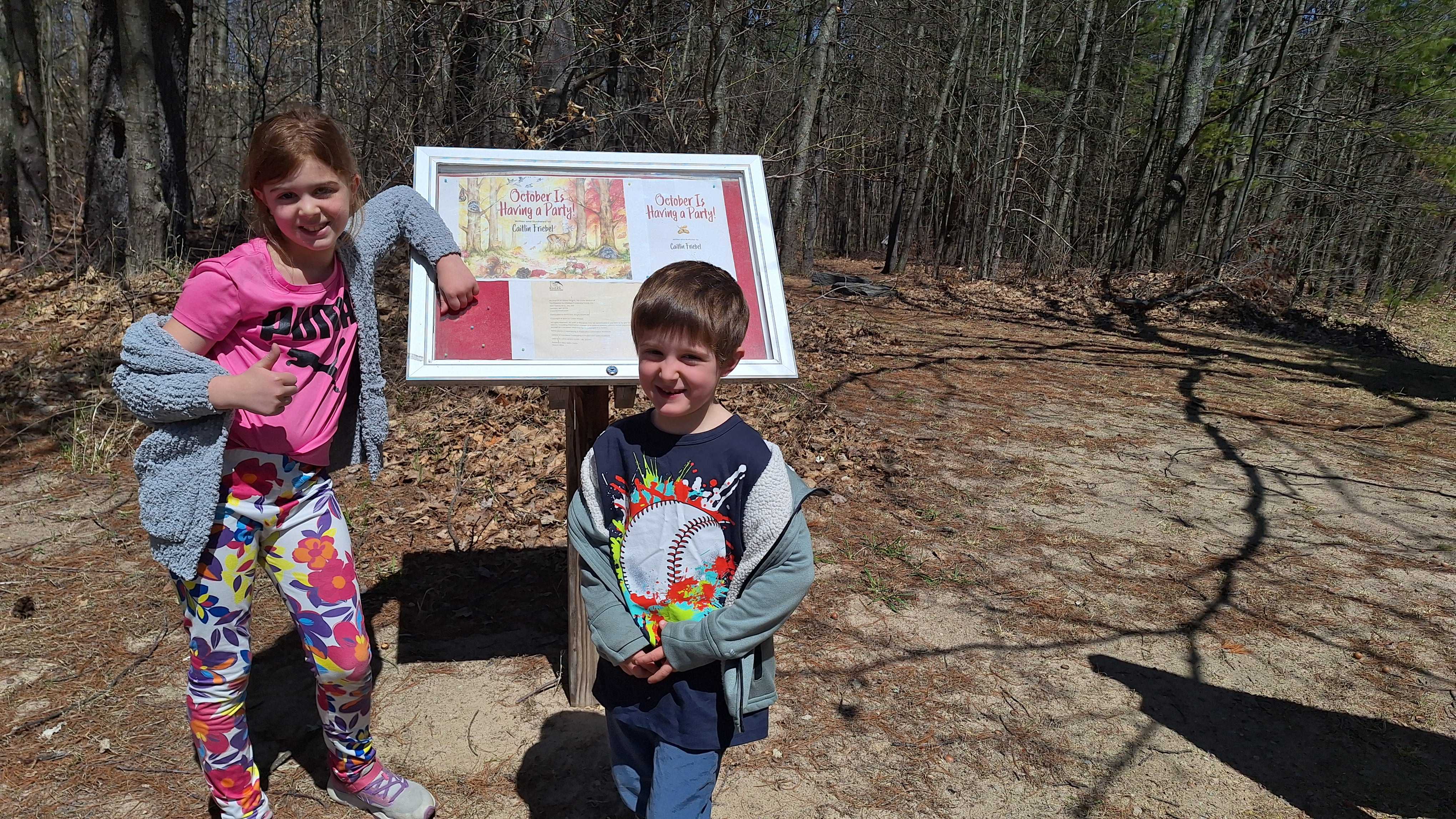
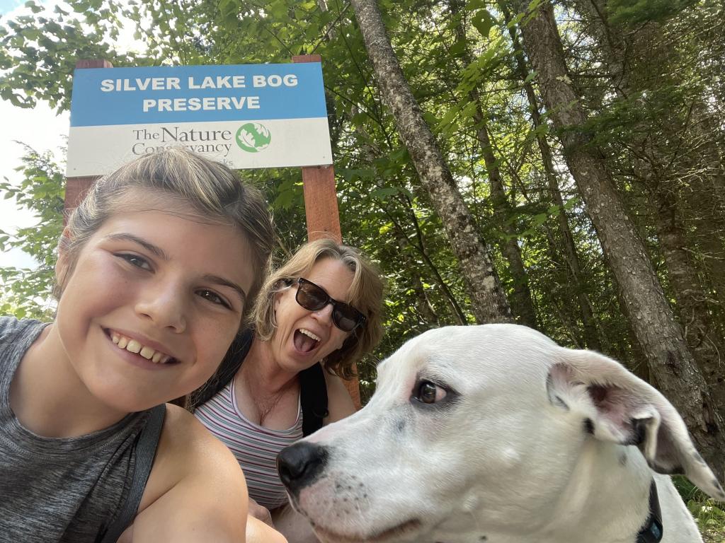
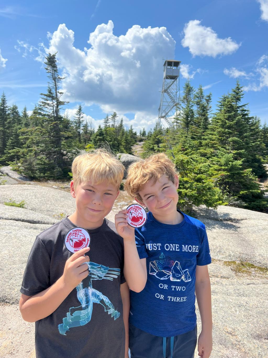
This is a challenge open to any Saranac Central School student. To complete this challenge, you must complete the first six trails below and submit the date hiked
and a picture of yourself on the trail. For an additional challenge and a different patch, you need to complete and submit information for all seven trails.
Responsibility Guidelines
Know Before You Go: Check the status of the place you want to visit. If it is closed, don't go.
If it's crowded, have a backup plan.
Plan Ahead: Be aware of the weather and bring what you need. Pack lunch, bring water,
have a first aid kit, wear bright colors during hunting season, and other essentials.
Leave No Trace: Respect public lands and waters, as well as Native and local communities. Take all your garbage with you. Pack it in, pack it out and pack it home.
Build an Inclusive Outdoors: Be an active part of making the outdoors safe and welcoming
for all identities and abilities.


Saranac Central Hiking Challenge Trails
-
Trail Head: Located at 13 LaPierre Lane in Morrisonville, NY.
Miles: approx. .25
GPS: 44.69513720405843, -73.55579993605298
-
Trail Head: Located at Cadyville Recreation Park, 114 Goddeau Road in Cadyville, NY.
Miles: .4
GPS: 44.69513720405843, -73.55579993605298
-
Trail Head: Located at Saranac Middle School, 70 Pickettes Corners Road in Saranac, NY.
Miles: .25
GPS: 44.66741288922231, -73.72913027145525
-
Trail Head: Located at 236 Plumadore Road in Saranac, NY.
Miles: Approx. 2
GPS: 44.66943573922035, -73.83216104119002

-
Trail Head: Located about .2 miles down the Old Hawkeye Road on the right in AuSauble Forks.
Miles: approx. 2
GPS: 44.511480156659445, -73.88302196148918
-
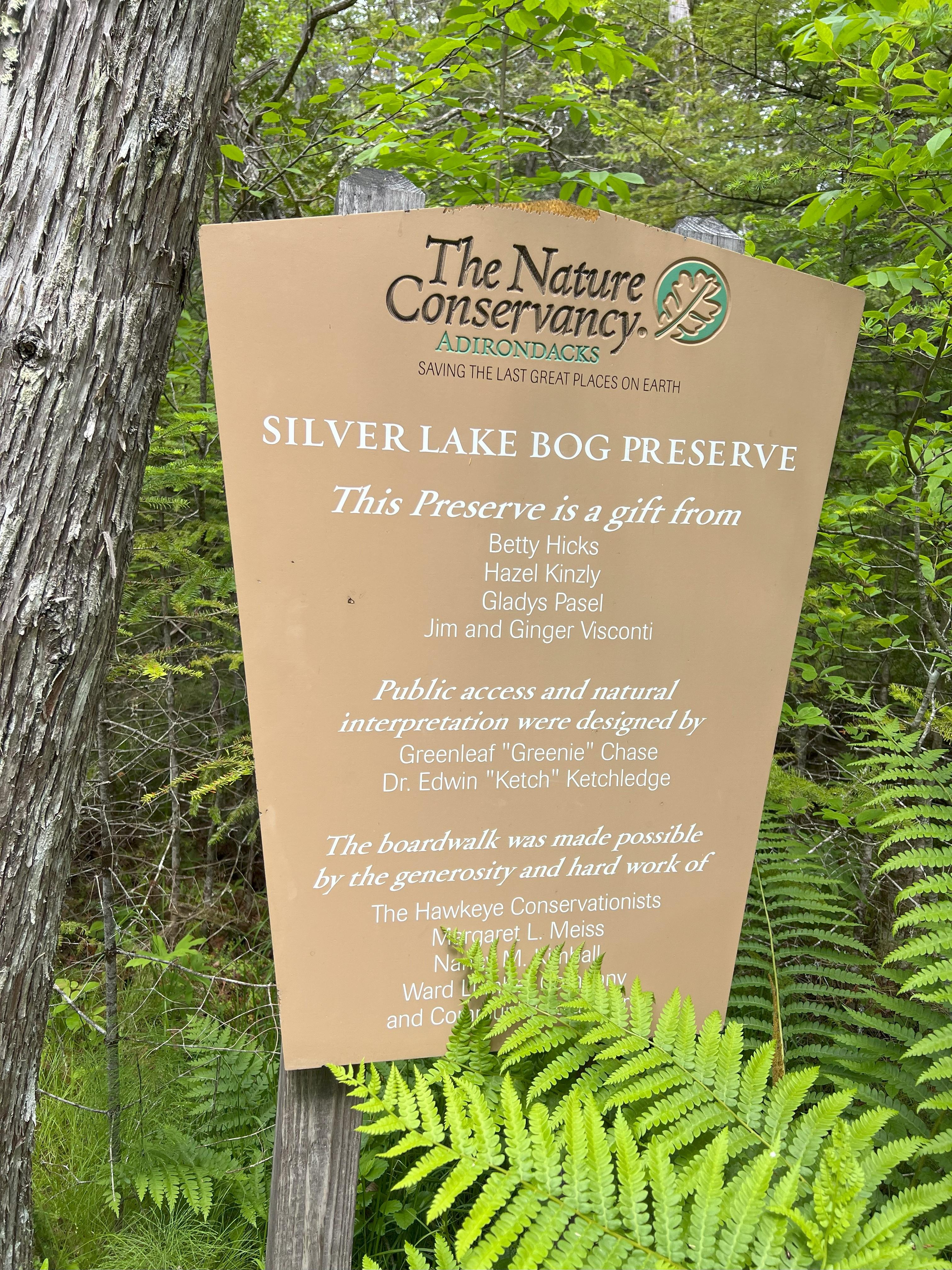
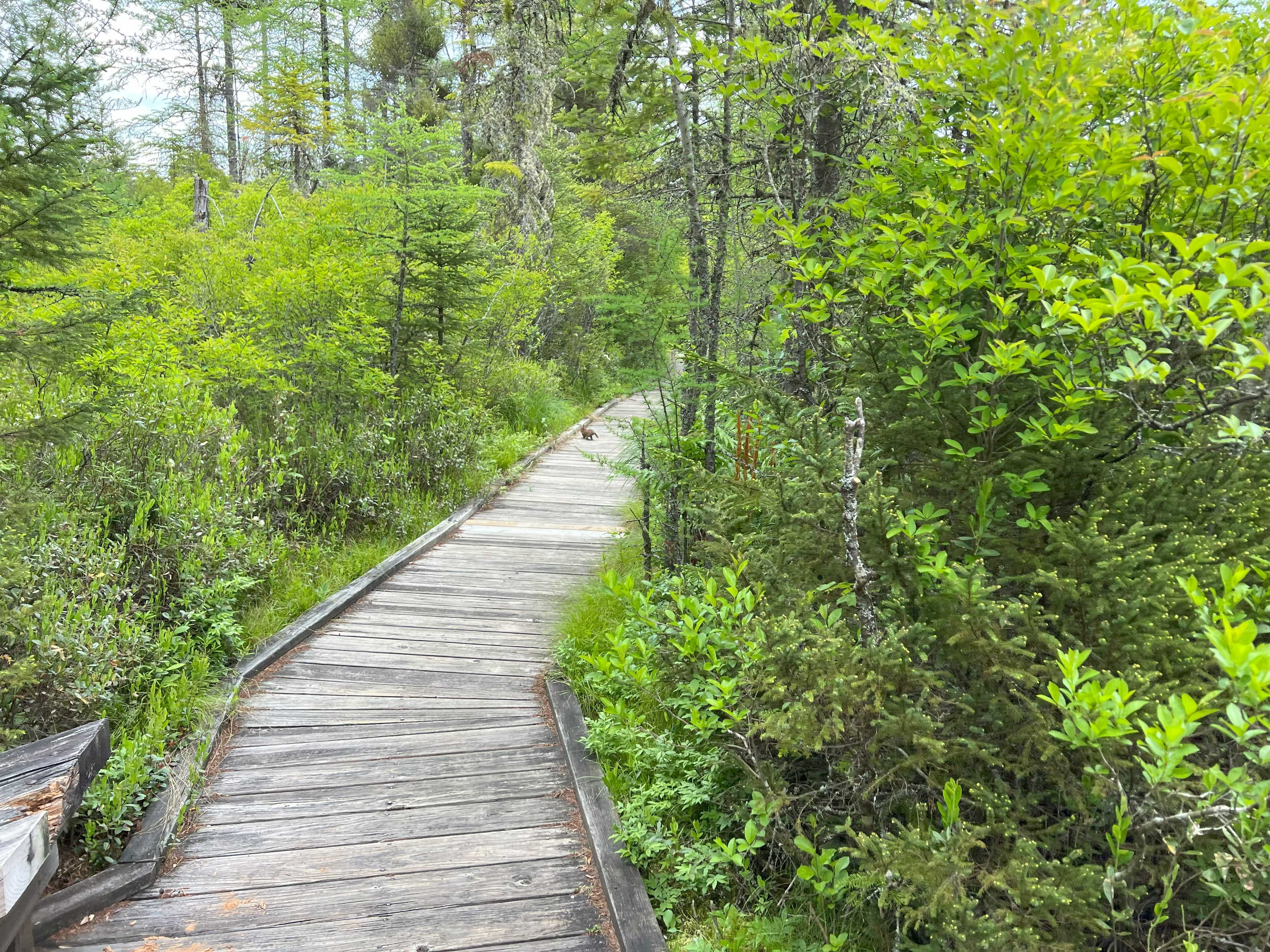
Trail Head: Located at Silver Lake Road in Black Brook, NY. Trail Head is just past Island Road on the left.
Miles: 1.9 Round Trip
Elevation: 928’
GPS: 44.51092004987161, -73.84986426568393
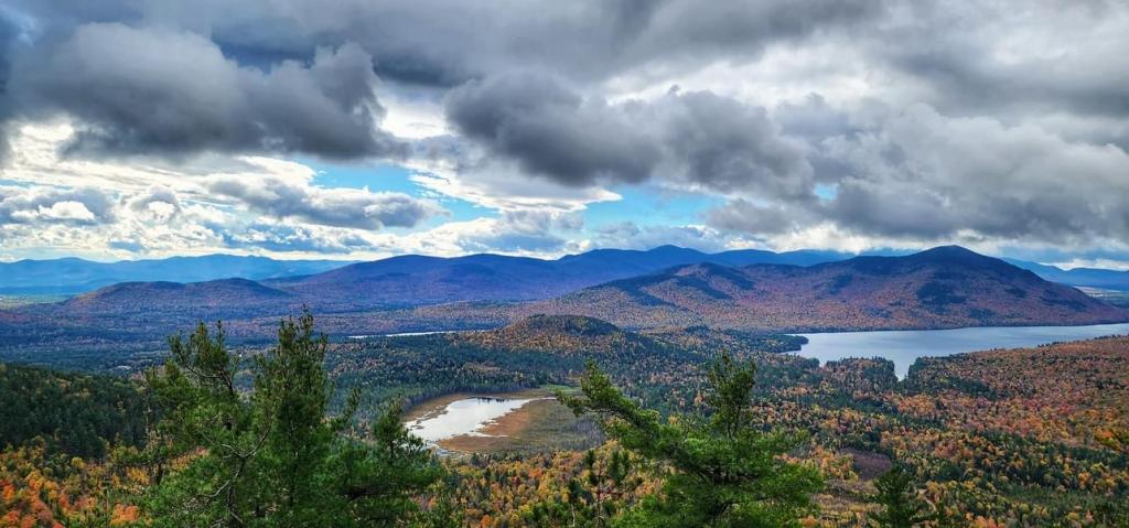
-
Trail Head: Located at Chazy Lake Road in Lyon Mountain, NY.
Miles: 7.1 Round Trip
Elevation: 1922’


Registration

Roster
To register you will need to sign into a Saranac Central Microsoft account. Every student in the Saranac District has an account. For students K-8 the students user name Is Last Namefirst Name@Saranac.org (Example Doecharlie@saranac.org). K-8 students password is Capital Letter of First Name, letter of last name and lunch code (Example Cd36851). Click on the Registration Form to submit your finished hiking trails.